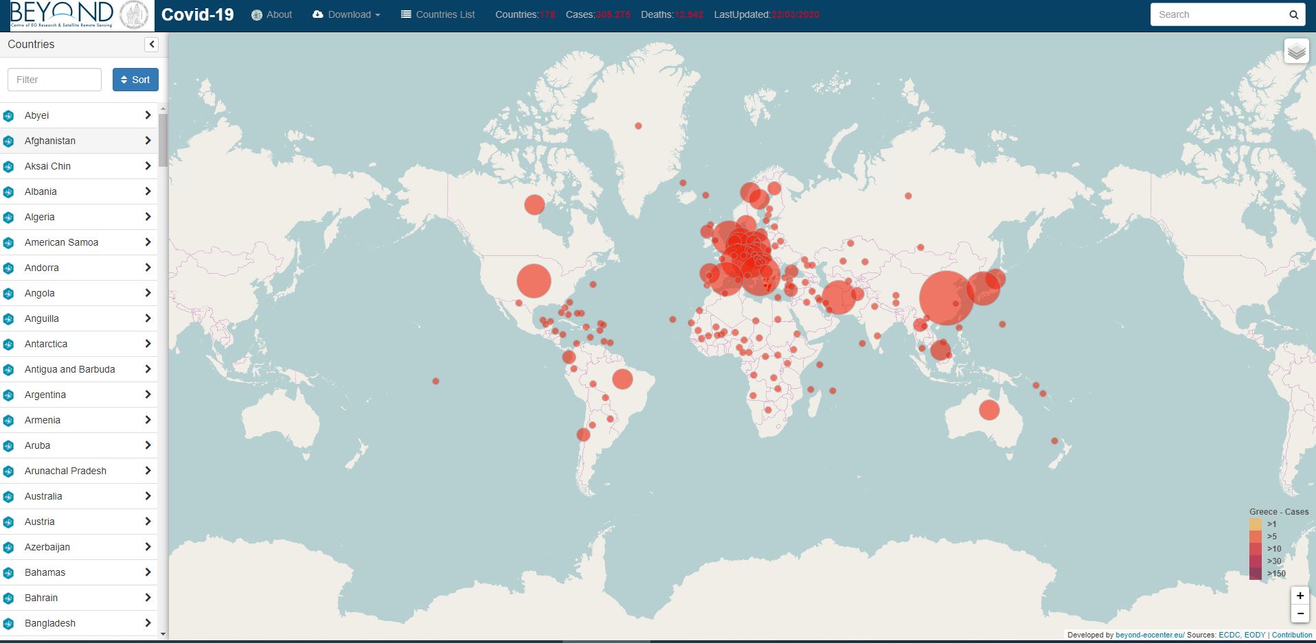
BEYOND Centre of Earth Observation Research and Satellite Remote Sensing (http://beyond-eocenter.eu/), of the National Observatory of Athens, has launched an online Web GIS platform that is closely monitoring the global spread of the COVID-19, aiming to actively provide robust and accurate information about the pandemic.
The live dashboard pulls data from official sources, specifically, the ECDC (European Centre for Disease Prevention and Control- https://www.ecdc.europa.eu/en) as well as the HNPHO (Hellenic National Public Health Organization - https://eody.gov.gr/) and the media.
This is part of the Center’s wider initiative to deliver reliable and timely reporting to the general public at this critical time.
Track the coronavirus on http://webgiscovid19.beyond-eocenter.eu/
____________________________________________________________________________________________
Το Κέντρο Επιστημών Παρατήρησης της Γης και Δορυφορικής Τηλεπισκόπησης BEYOND - http://beyond-eocenter.eu/ του ΕΑΑ, λειτουργεί από σήμερα μια Web GIS πλατφόρμα μέσω της οποίας ενημερώνουμε καθημερινά την παγκόσμια εικόνα εξάπλωσης του COVID-19.
Η πλατφόρμα ενημερώνεται μέσω δεδομένων που παίρνουμε από ECDC (European Centre for Disease Prevention and Control - https://www.ecdc.europa.eu/en), ΕΟΔΥ (Εθνικός Οργανισμός Δημόσιας Υγείας - https://eody.gov.gr/, και τις σχετικές ανακοινώσεις που δίνονται στα MME.
Η πλατφόρμα είναι προσβάσιμη στον σύνδεσμο http://webgiscovid19.beyond-eocenter.eu/