
In the last image we see the SWIR index from the Sentinel-2 image taken on 23/06/2022. The burned area up to this date is shown in brown, while the active fires are also visible. The image also shows older burned areas of the area.
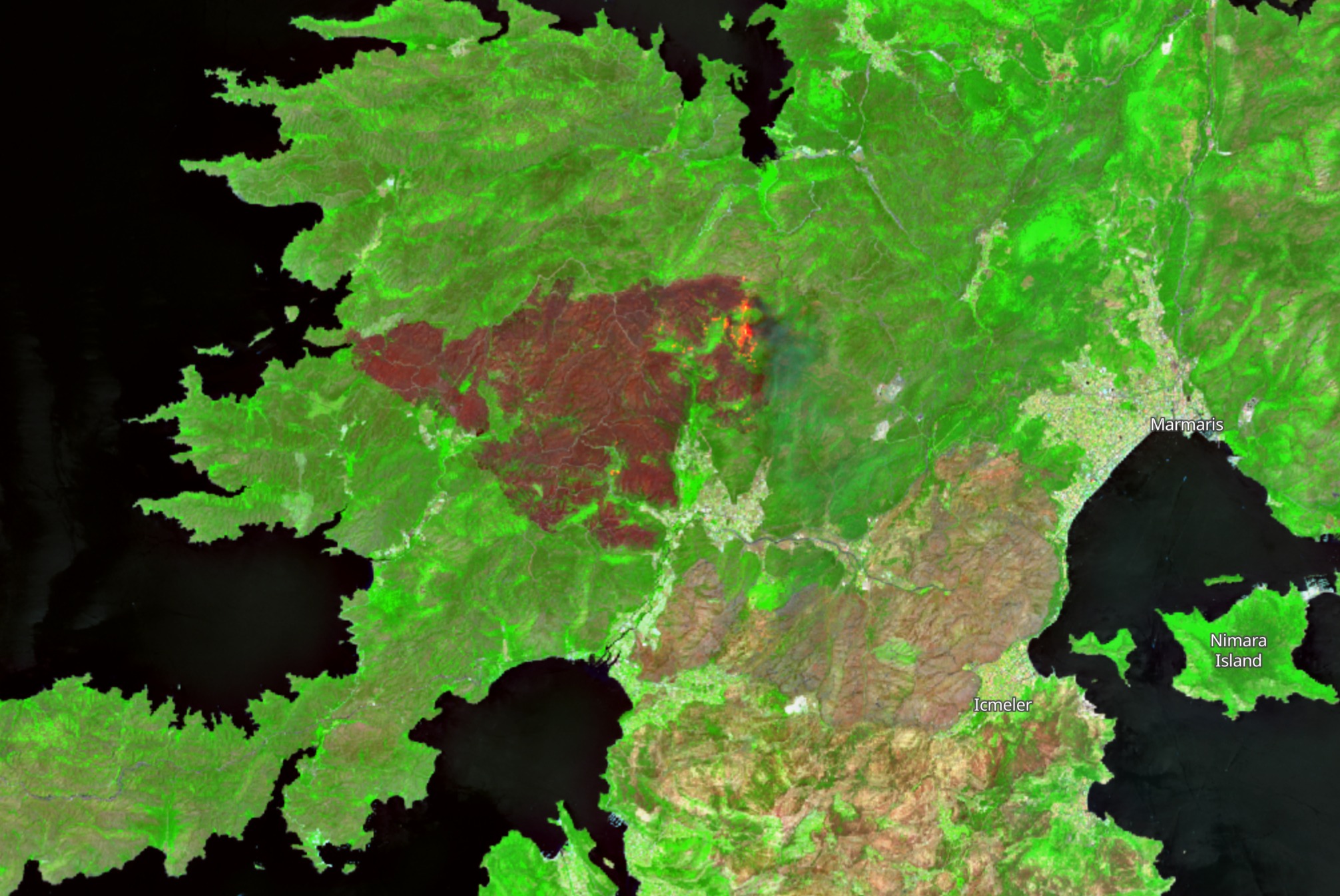
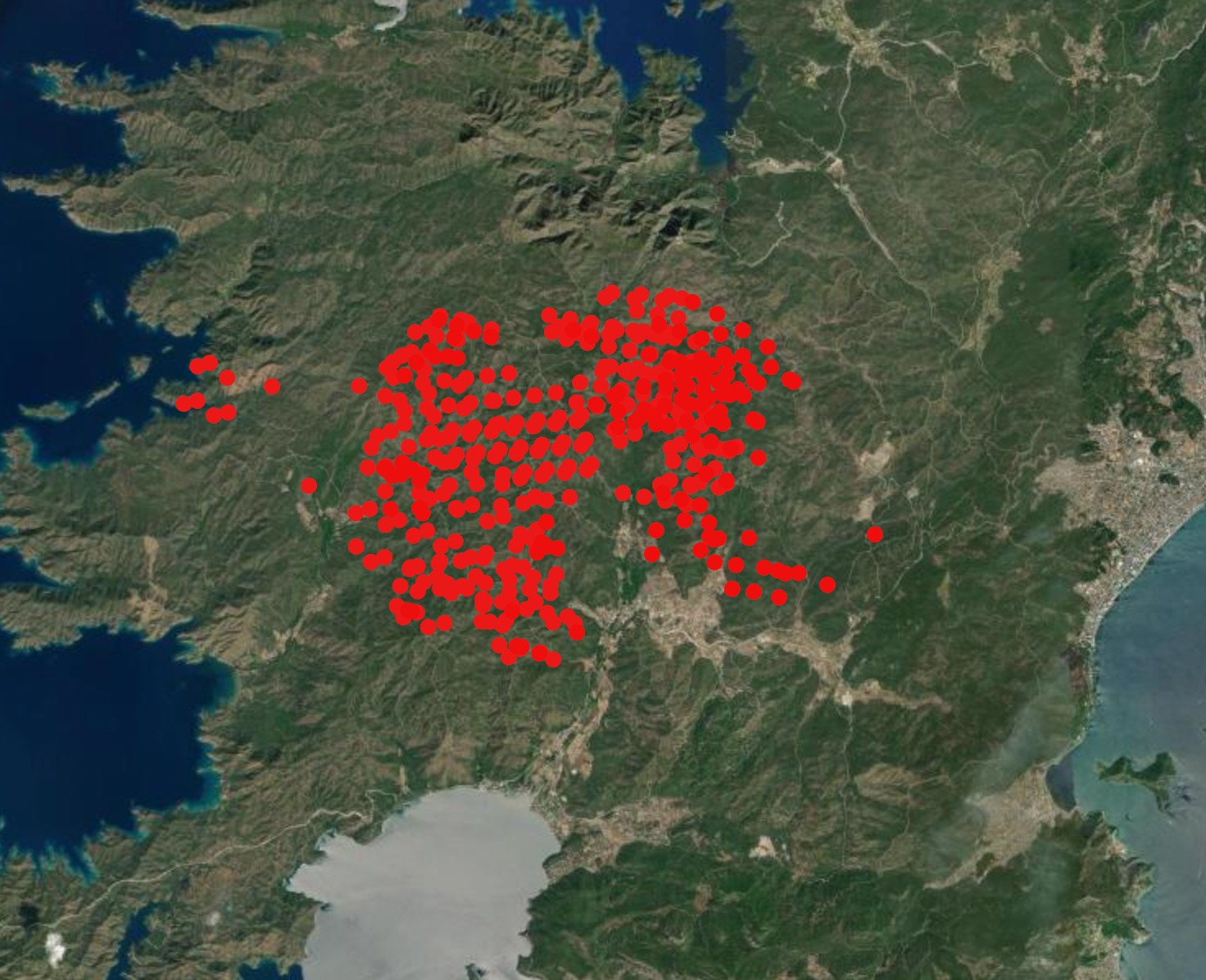
Source: Sentinel HubForest Fire Information System (FFIS) provides a range of fast satellite active fire detection products as well as assessment - mapping of burned areas in Central and Southern Europe, North Africa, the Middle East and the Black Sea.