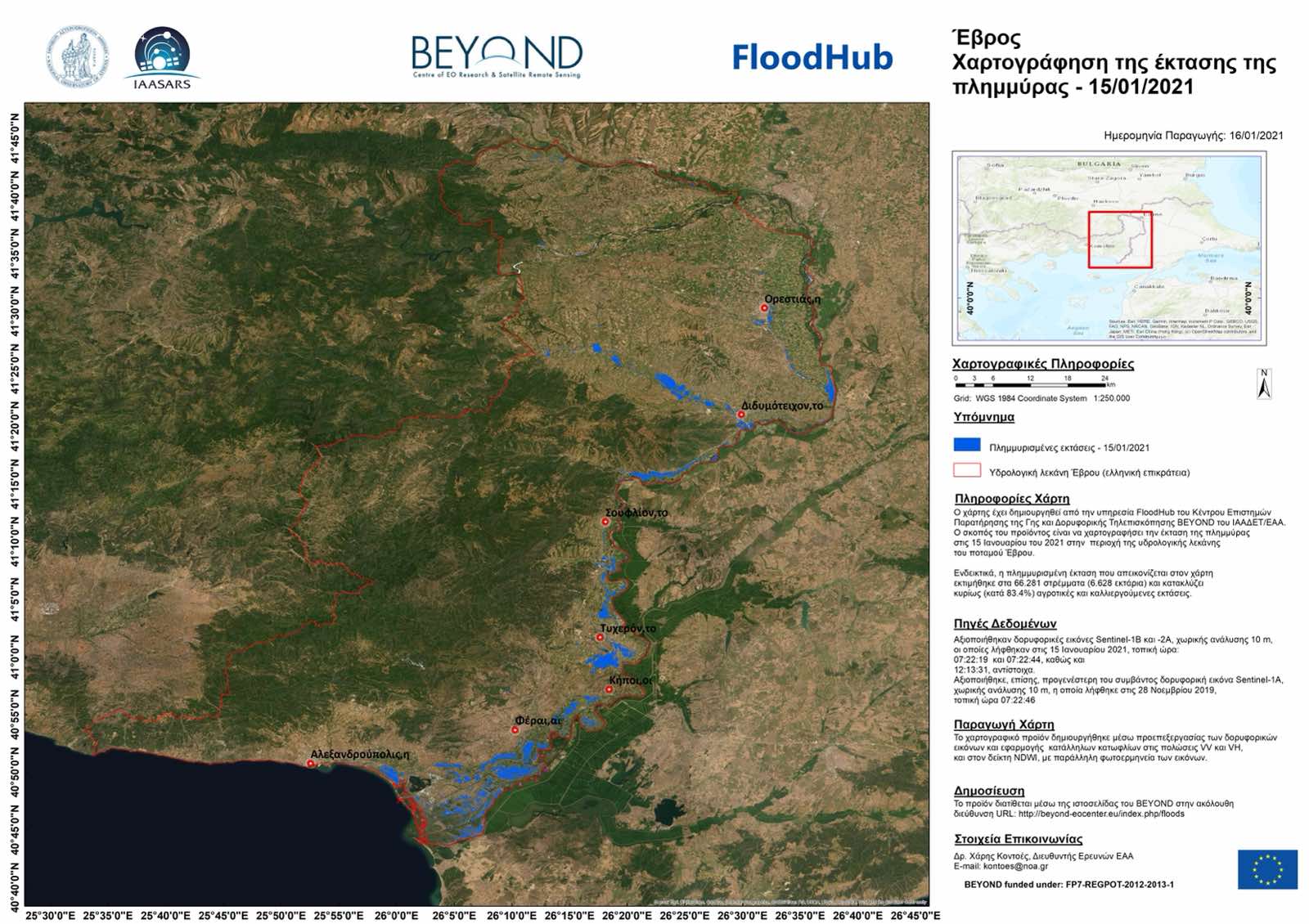
Χαρτογράφηση της έκτασης της πλημμύρας στον Έβρο (ελληνική επικράτεια) με δορυφορικά δεδομένα από την υπηρεσία FloodHub του Κέντρου Παρατήρησης της Γης και Δορυφορικής Τηλεπισκόπησης BEYOND του Εθνικού Αστεροσκοπείου Αθηνών
Χαρτογράφηση της έκτασης της πλημμύρας στον Έβρο (ελληνική επικράτεια) με δορυφορικά δεδομένα από την υπηρεσία FloodHub του Κέντρου Παρατήρησης της Γης και Δορυφορικής Τηλεπισκόπησης BEYOND του Εθνικού Αστεροσκοπείου Αθηνών
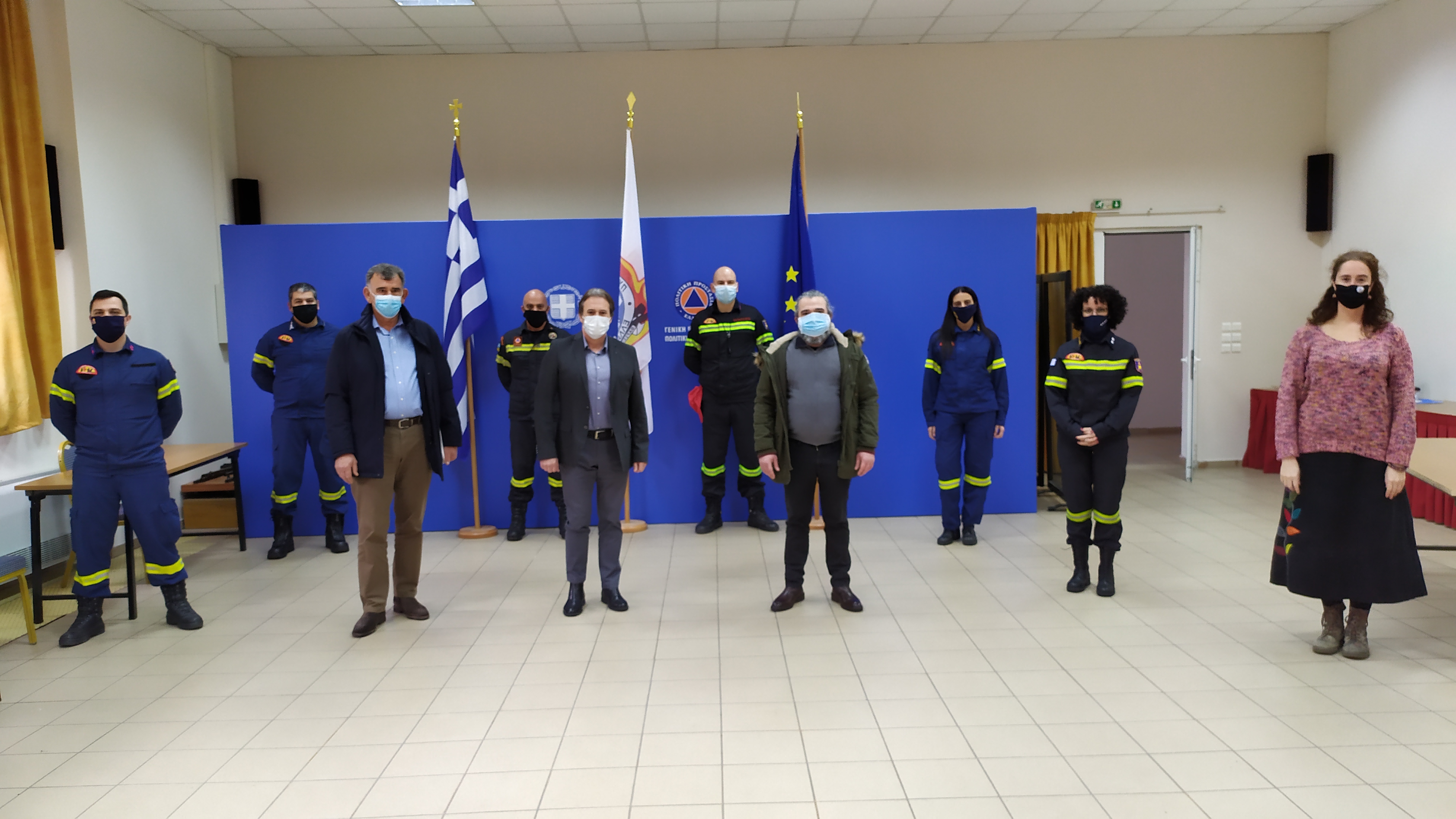
Εκπαίδευση στελεχών του Πυροσβεστικού Σώματος στο επιχειρησιακό σύστημα FloodHub για την λεκάνη απορροής Μάνδρας – Μαγούλας – Ελευσίνας
![]()
The EU-funded project FIRE has gathered user needs through focus group discussions across six key sectors.
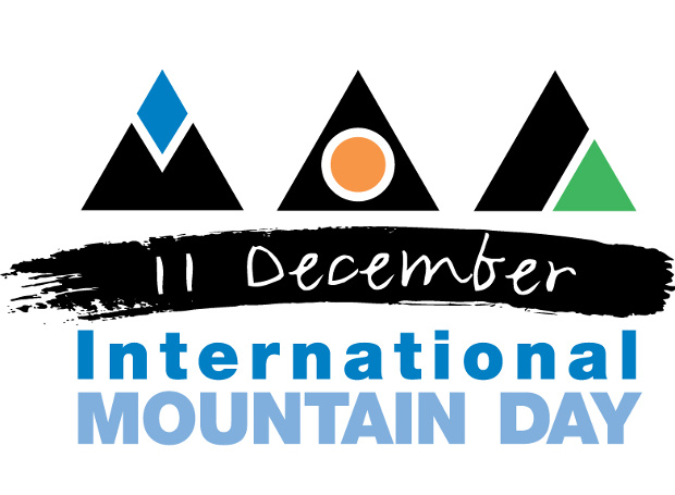
Το Κέντρο Επιστημών Παρατήρησης της Γης και Δορυφορικής Τηλεπισκόπησης BEYOND, συμμετείχε την Παρασκευή 11 Δεκεμβριου στο Συνέδριο "Κλιματική αλλαγή και φυσικές καταστροφές στα βουνά".
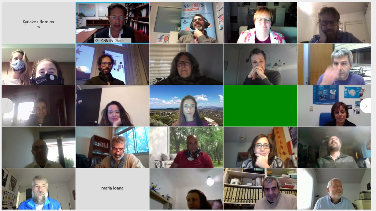
colleague Alexia Tsouni is presenting today at ERA-PLANET General Assembly the #FloodHub : An Integrated Near-Real-Time Flood Monitoring System in support of the decision making.

BEYOND at online AGU Fall Meeting with two presentations in the sessions B037 - Smart Farming and Natural Resource Management Enabled by Remotely Sensed Big Data II Posters and H203: Advancing Flood Characterization, Modeling, and Communication I.
Check out our new publication, which was a joint effort with our colleagues from the Center of Research and Technology - Hellas.
Three flagship H2020 projects with the participation of BEYOND Center of Excellence will be presented in a dedicated EC workshop next week
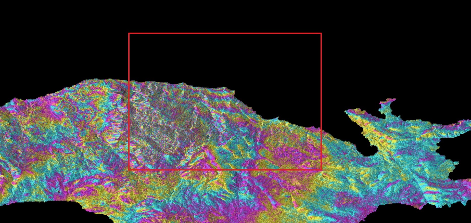
Σήμερα, η υπηρεσία geObservatory του Κέντρου Ερευνών Δορυφορικής Τηλεπισκόπησης BEYOND του Εθνικού Αστεροσκοπείου Αθηνών συνέλεξε από το Hellenic Mirror Site την πρώτη διαθέσιμη δορυφορική εικόνα ραντάρ υψηλής ανάλυσης μετά τον ισχυρό σεισμό στη Σάμο, και παρέχει τώρα την πρώτη χαρτογράφηση της εδαφικής παραμόρφωσης στην ευρύτερη περιοχή που επλήγη, με την επιφύλαξη να δώσει και νεότερους υπολογισμούς μέσα στις επόμενες ημέρες προς επιβεβαίωση των μετρήσεων του πεδίου παραμόρφωσης και των πρώτων παραμορφώσεων που διαφαίνονται στο πρώτο αυτό συμβολογράφημα.
On October 30, 2020, the geObservatory service of BEYOND Center of Erath Observation Research and Satellite Remote Sensing of the National Observatory of Athens, downloaded the first available SAR image from the Hellenic Mirror Site, after the strong earthquake that occurred in Samos island and provides a detailed mapping of ground deformation pattern, in the broader area near the epicenter. This first indication for deformation pattern, we give it with reservations, and will be further refined in the next couple of days for as long as new Sentinel-1 data will be ingested in the geObservatory and new calculations of the deformation pattern will become available.